
WebODM
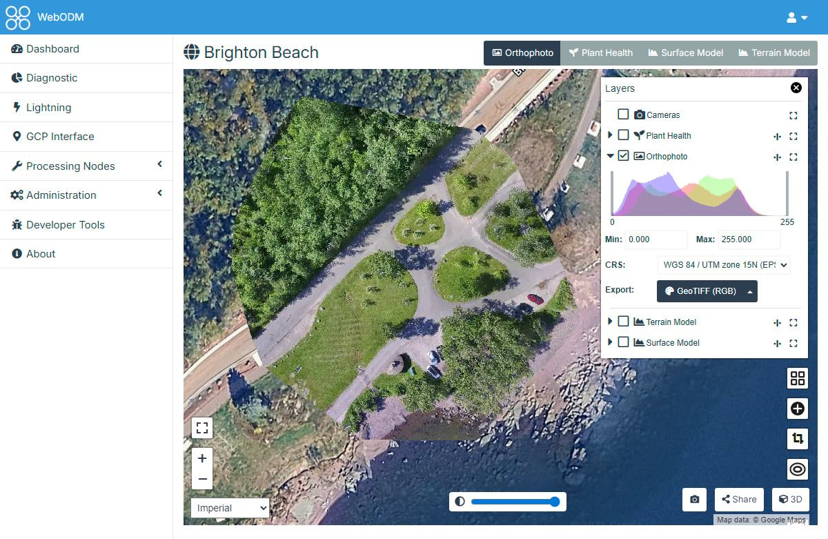
Drone mapping from your own imagery: upload aerial photos and get orthophotos, digital surface and terrain models, contours, point clouds and textured 3D meshes, then measure areas, volumes and elevation profiles on the result.
About
Drone mapping from your own imagery: upload aerial photos and get orthophotos, digital surface and terrain models, contours, point clouds and textured 3D meshes, then measure areas, volumes and elevation profiles on the result.

